

集信:South China Sea location map.svg

戟𡱩版䀡𠓀PNG尼𧵑集信SVG:553×599點影。 度分解恪:221×240點影 | 443×480點影 | 709×768點影 | 945×1.024點影 | 1.890×2.048點影 | 1.134×1.229點影。
集信㭲 (集信SVG、1.134×1.229點影𨑗名義、戟𡱩:617kB)
Summary
| Description |
Deutsch: Positionskarte des Südchinesischen Meers
Quadratische Plattkarte, N-S-Streckung 102 %. Geographische Begrenzung der Karte:
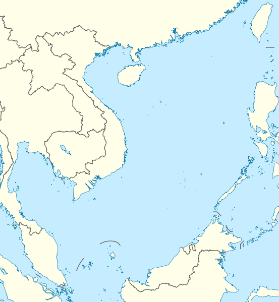
English: Location map of the South China Sea
Equirectangular projection, N/S stretching 102 %. Geographic limits of the map:
|
|
| Date | ||
| Source | own work, using World Data Base II data | |
| Author | NordNordWest | |
| Permission (Reusing this file) |
This file is licensed under the Creative Commons Attribution-Share Alike 3.0 Germany license.
 This file is licensed under the Creative Commons Attribution-Share Alike 3.0 Unported license.
|


|
This map has been made or improved in the German Kartenwerkstatt (Map Lab). You can propose maps to improve as well.
|
歷史集信
扨𠓨𣈜/𣇞抵䀡內容集信在時點妬。
| 𣈜/𣇞 | 形䀡𠓀 | 戟櫸 | 成員 | 描寫 | |
|---|---|---|---|---|---|
| 現在 | 01:56、𣈜18𣎃8𢆥2011 | | 1.134×1.229 (617kB) | wikimediacommons>NordNordWest | == {{int:filedesc}} == {{Information |Description= {{de|Positionskarte des Südchinesischen Meers}} Quadratische Plattkarte, N-S-Streckung 102 %. Geographische Begrenzung der Karte: * N: 25.5° N * S: 0° N * W: 98.5° O * O: |
張使用集信
張𢖖󠄁使用集信尼: